Surveying & Mapping
Advanced Surveying & Mapping Solutions
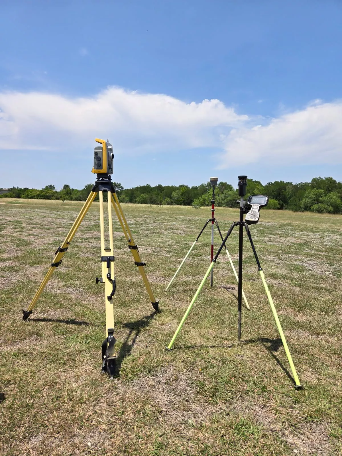
SPI provides professional surveying services for both stand-alone survey projects and projects requiring surveying services for completion of engineering design projects. SPI has its own survey crews, which are available for the field at all times.
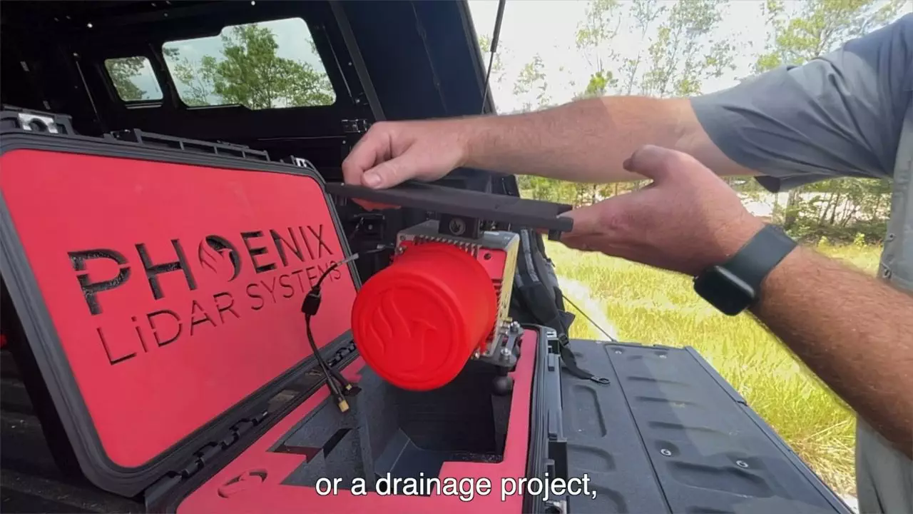
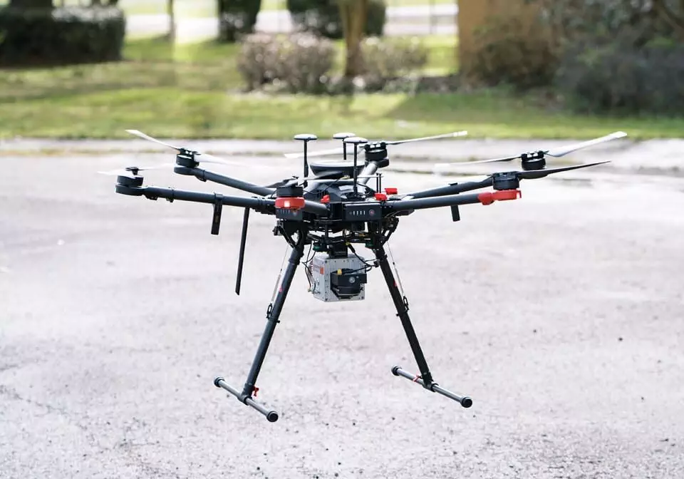
In addition to our surveying staff, SPI also employs LiDAR drone technology and an FAA licensed drone pilot to provide survey and mapping services. One inherent benefit of using LiDAR Technology rather than photogrammetry, is the ability to measure surfaces below vegetation and tree canopy. This technology can significantly reduce field time, can expedite the project, and can support our client’s needs from conception to completion.


About LIDAR
SPI provides professional surveying services for both stand-alone survey projects and projects requiring surveying services for completion of engineering design projects. SPI has its own survey crews, which are available for the field at all times.
In addition to our surveying staff, SPI also employs LiDAR drone technology and an FAA licensed drone pilot to provide survey and mapping services. One inherent benefit of using LiDAR Technology rather than photogrammetry, is the ability to measure surfaces below vegetation and tree canopy. This technology can significantly reduce fieldtime by as much as half and expedite the project.
Schaumburg & Polk, Inc. uses state-of-the-art technology and software to provide customized LIDAR surveying and mapping services to support our client’s needs from conception to completion.
Capabilities Include:
- Topographic Surveying
- Boundary and Property Surveying
- Easement and Right of Way Documentation
- Stockpile Volumetric Analysis
- Landfill Surveys
- Utility Inspection
- Change Detection
- Construction Progress Tracking
- As-Built Surveys
- Roadway and Utility Route Analysis
- Land Development and Planning
- Waterway and Flooplain Mapping
- Municipal and City Parks and Trails Planning
- Storm Damage Assessments

