City of Vidor: Anderson Gully Study
Project Description
SPI was selected to provide engineering services for the City of Vidor to prepare a drainage study of the Anderson Gully Watershed through the General Land Office, Disaster Recovery program.
This study identifies drainage concerns along approximately 9 miles of the Anderson Gully channel and provides the City guidance in the planning, design, and construction of drainage infrastructure.
Analysis of the channel was performed using a two-dimensional hydraulic model created in HEC-RAS, which includes:
-
22 culvert crossings
-
16 bridge crossings
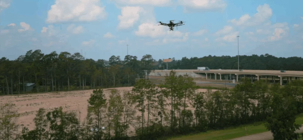
Survey data was collected by our staff using:
-
Traditional survey techniques
-
LiDAR data collected with an unmanned aerial vehicle (UAV)
The benefits of the channel model will continue to serve the City beyond this project. New information or improvements can quickly be added to the existing model as they become available to quickly determine the feasibility of proposed work. This eliminates the need to develop additional, site-specific project models, which reduces long-term planning expenses.
SPI looks forward to exploring new project opportunities that will benefit the City of Vidor and its citizens using these more agile modeling tools.